Soon after gold was discovered in the foothills of the Sierra Nevada mountains, California evolved with the rush of 49ers flocking west in search of a better means. Human influence began shape shifting the landscape, with transportation routes emerging like grid lines across the state.
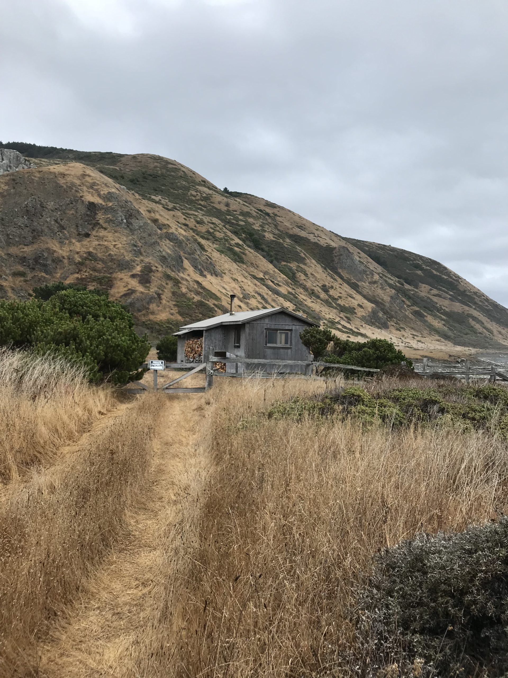
Among them was the piecemeal construction of California State Route 1, which traces the California coastline, making it one of the most epic and coveted roadtrips in the United States.That is, except for its diversion inland just before the King Range National Conservation Area, a landscape so rugged it forced construction of Highway 1 inland.
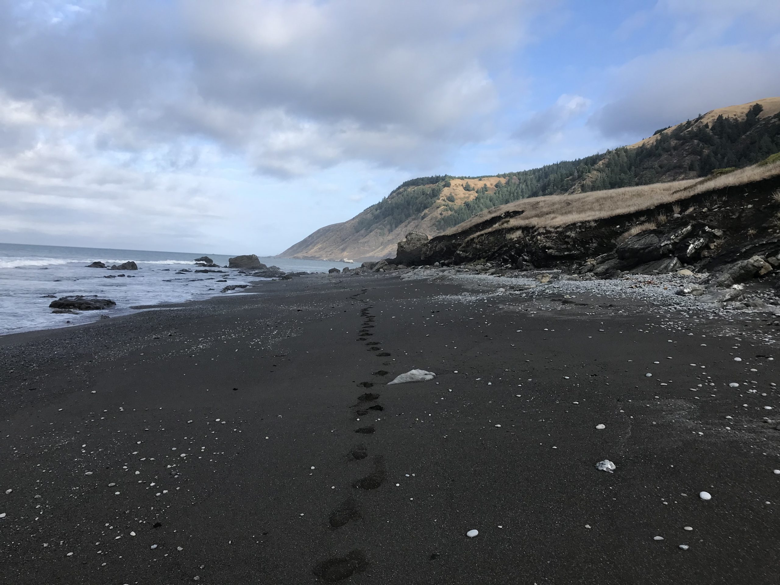
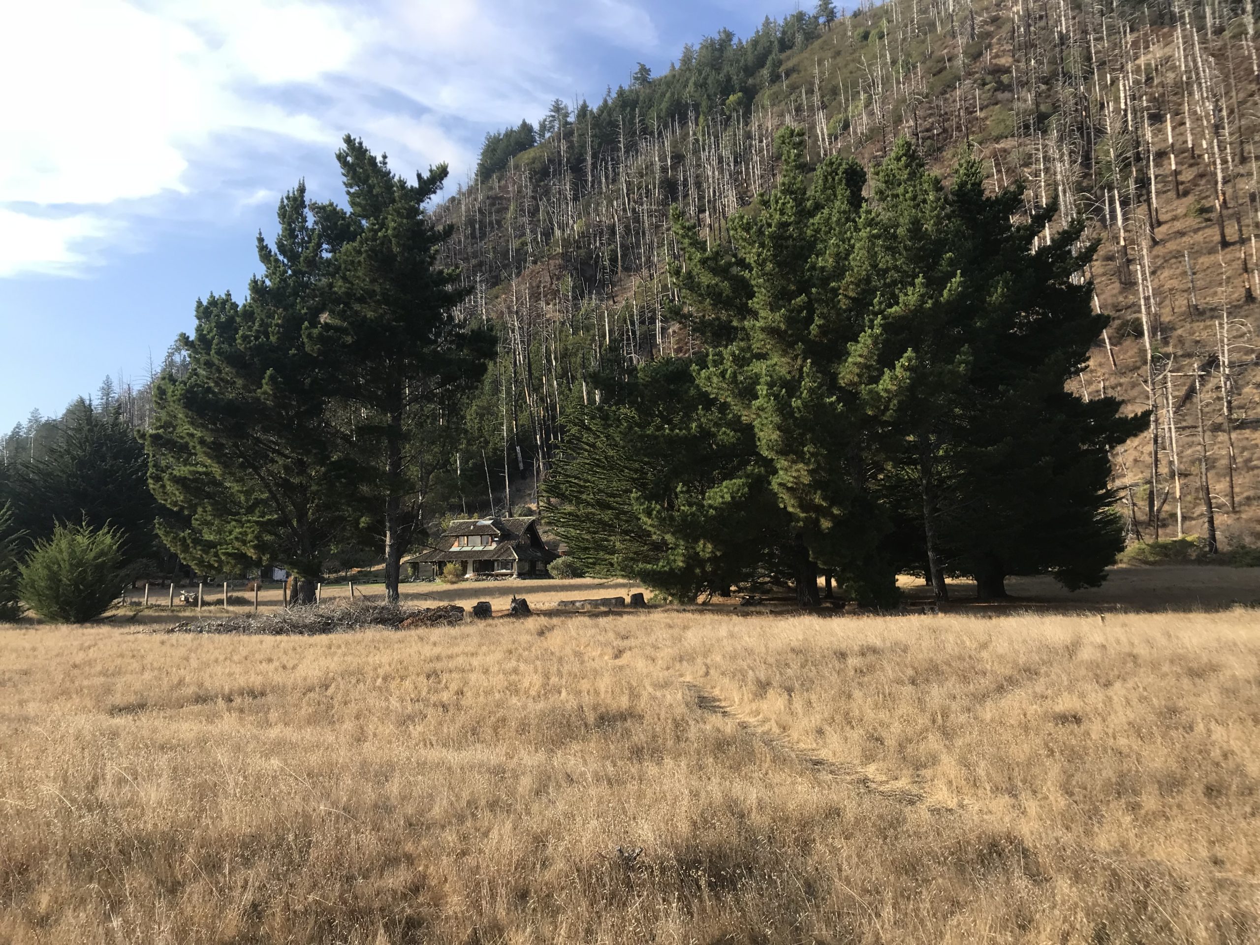
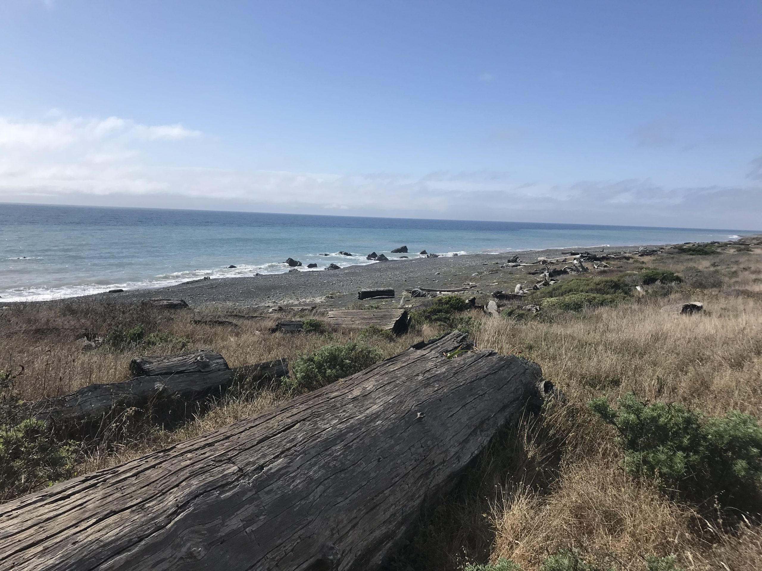
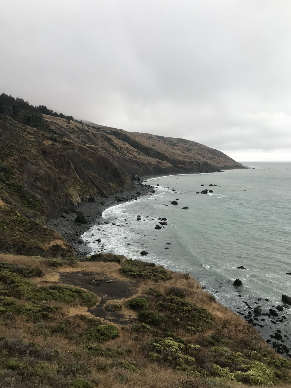
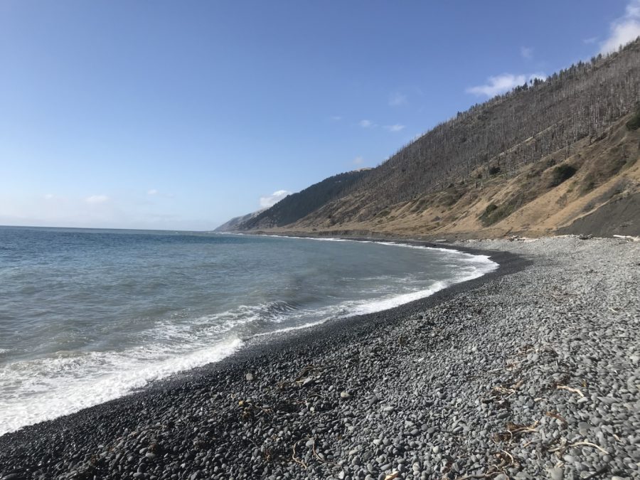
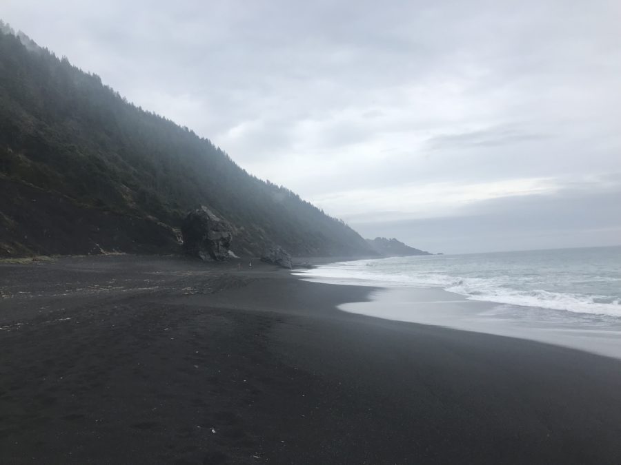
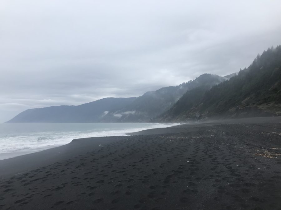
The jagged edges of the King Range Wilderness greet the shoreline where deer graze on the beach, and fresh water creeks empty into the Pacific Ocean. It’s a stark contrast to much of California’s developed and populated coastline. This remote landscape has rightfully earned its name as The Lost Coast.
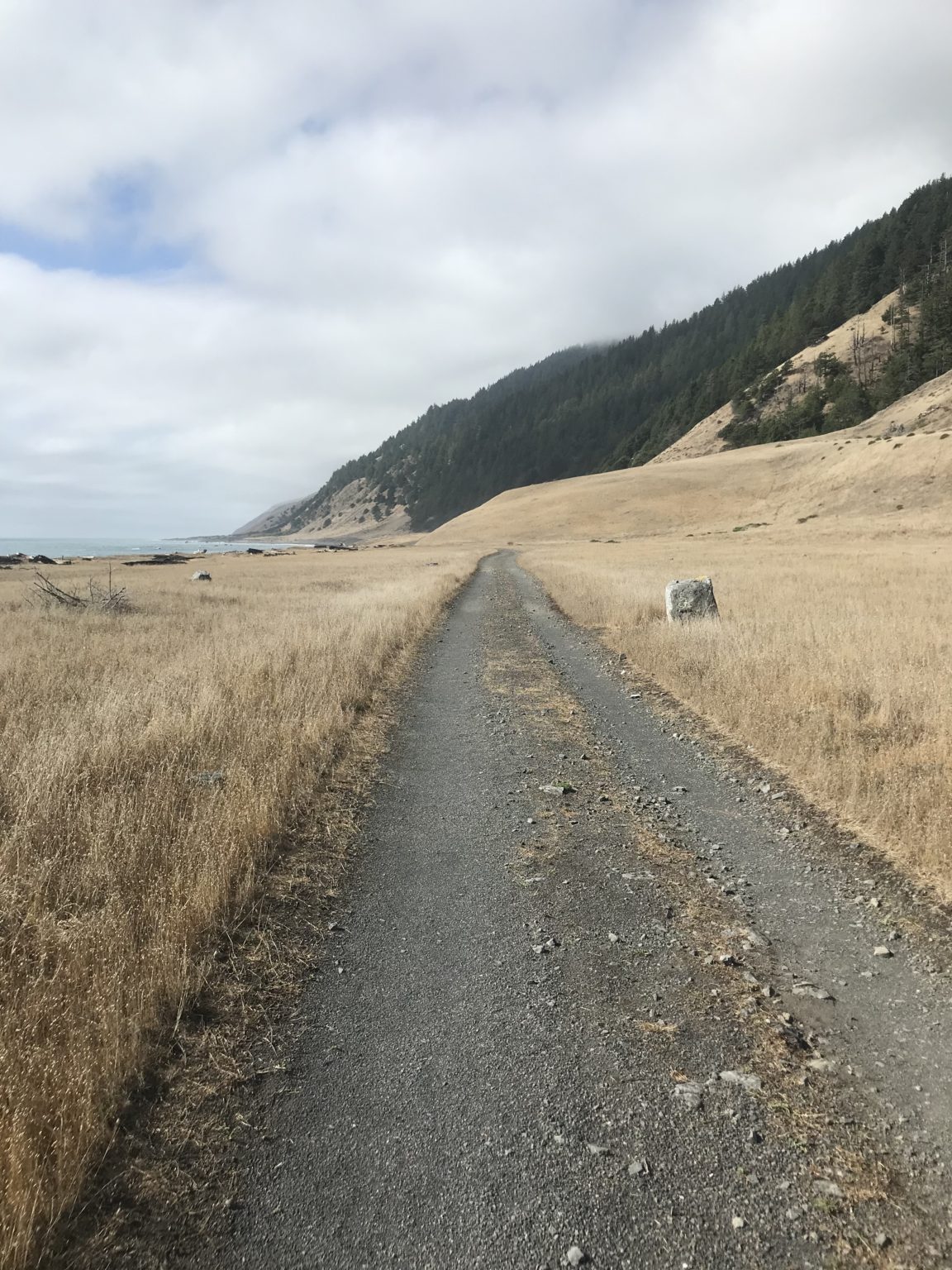
However this exquisite wilderness is only accessible by foot. The Lost Coast Trail is reserved for those who venture where roads and railways do not.
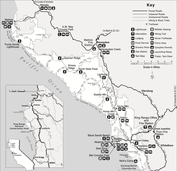
Map courtesy of blm.gov
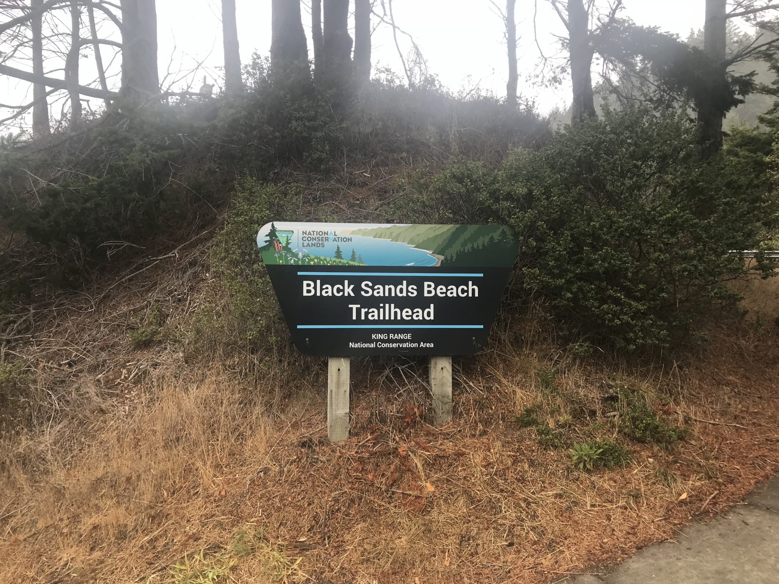
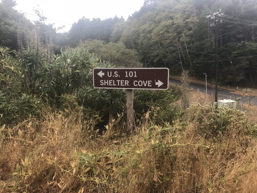
I park my car at Black Sands Beach Trailhead and catch the first morning shuttle headed North towards the Mattole River Trailhead. Mattole refers to the group of Native Americans, an Athabaskan subgroup, who dwelled along the banks of the “clear water” long before the Conquest of California, or the government institutions that established the King Range as a conservation area in 1970.
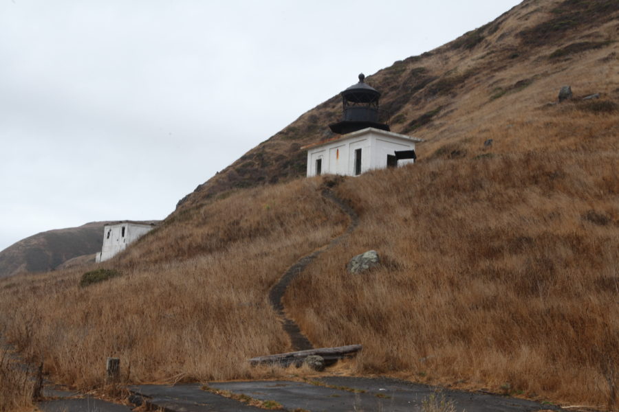
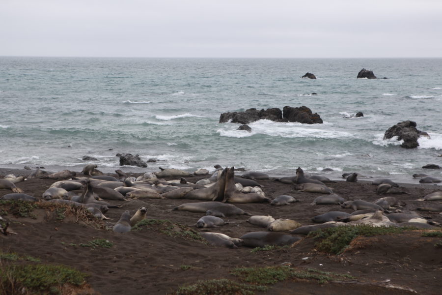
This section of the California coast is characteristically wet, so rain, wind, and thick fog are common. Within minutes of exiting the shuttle, I’m walking in my bright blue “Smurf poncho”. There are few places on the Lost Coast to seek refuge from the rain, but the Punta Gorda Lighthouse at mile 4 is one with a view. I watch elephant seals on the beach and eat a few snacks to wait out the worst of it.
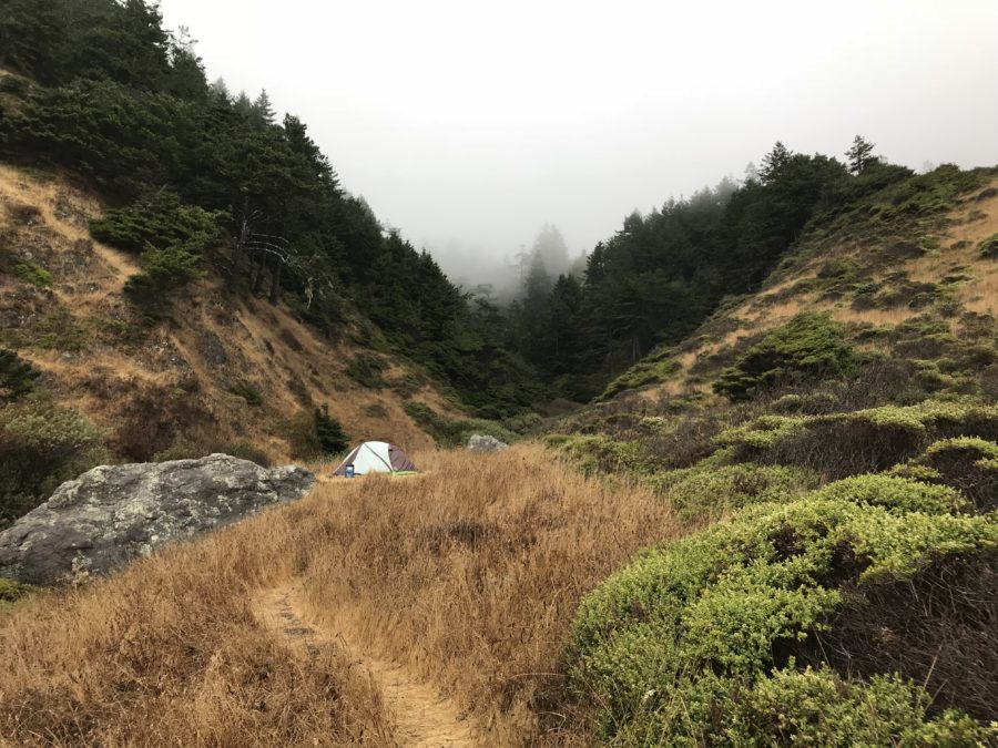
Knowing the forecast, and cutting it close to high tide at a stretch of trail on the beach, I decide to pitch my tent at Sea Lion Gulch. I set up camp with a stunning cliffside view and make dinner just before the rain returns. I’ve never camped alone and am fighting a fear of the dark, so I read a book in the safety of my tent and pass out for the night, hoping the bear canister I hid down the path does its job.
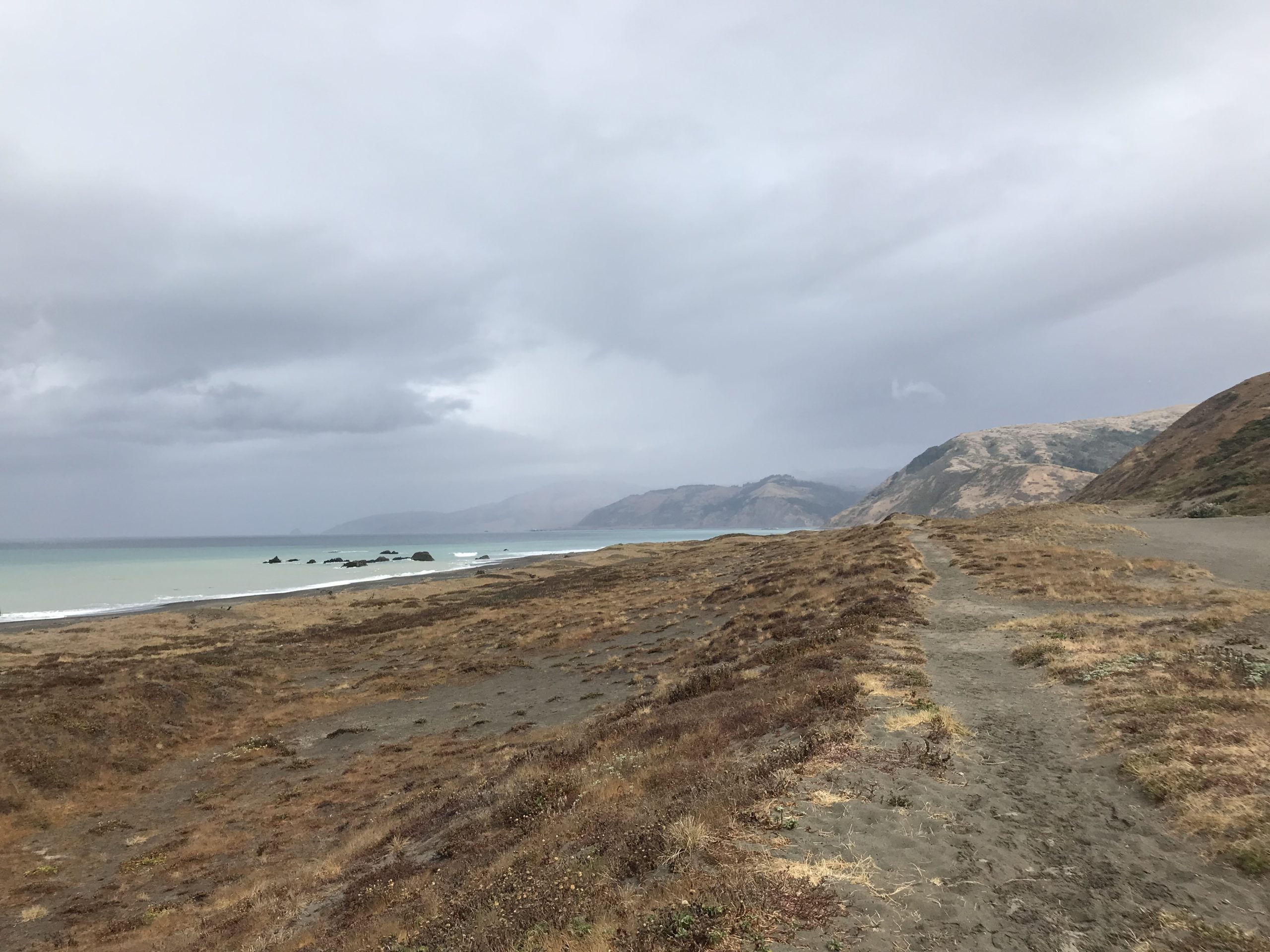
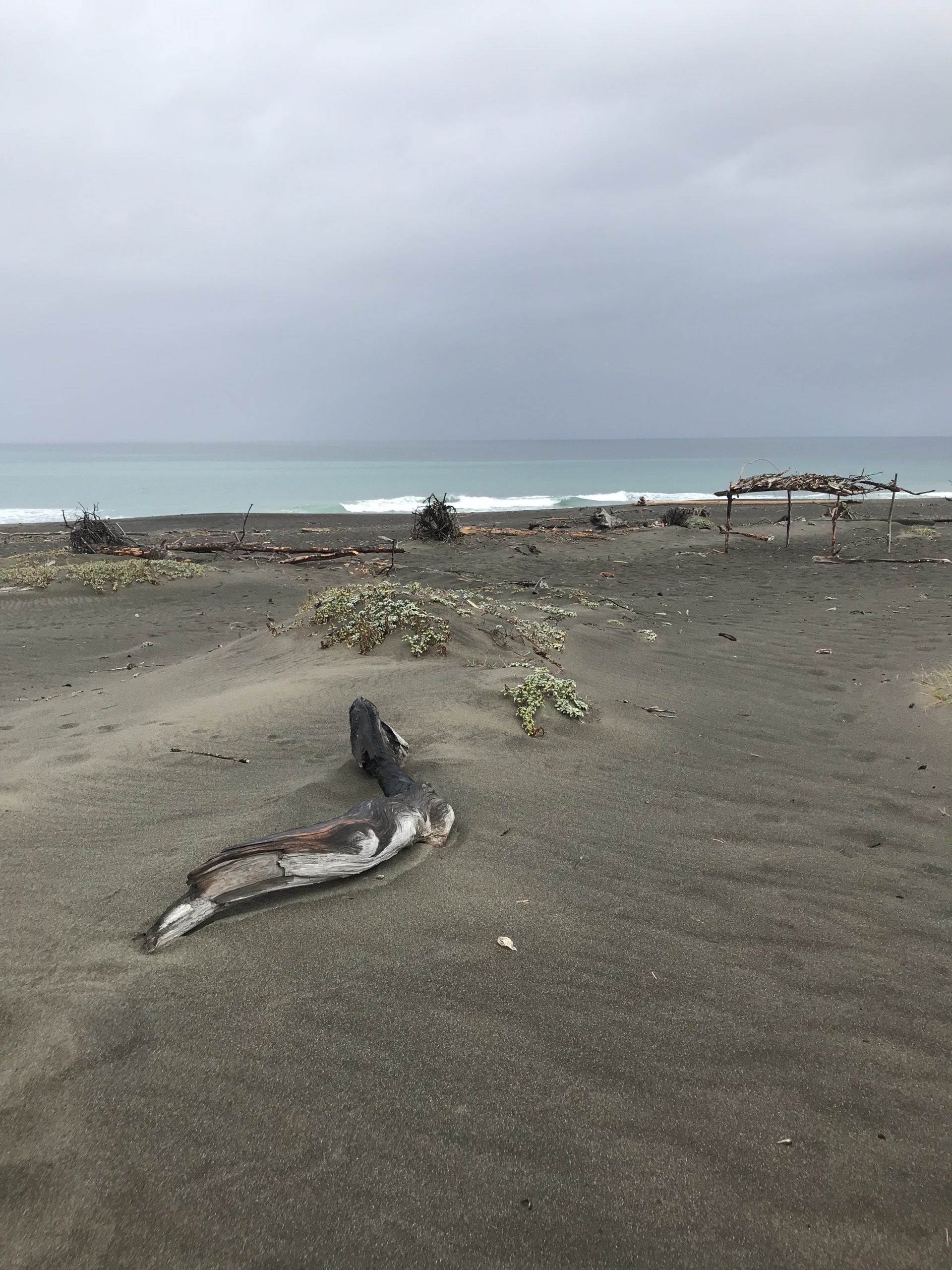
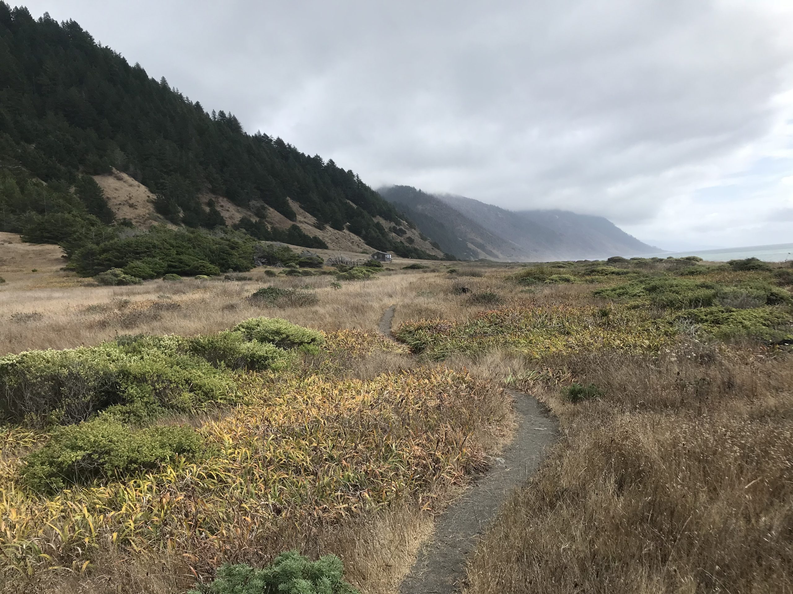
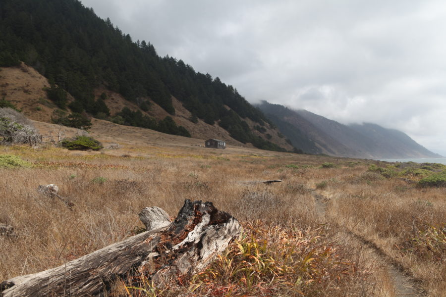
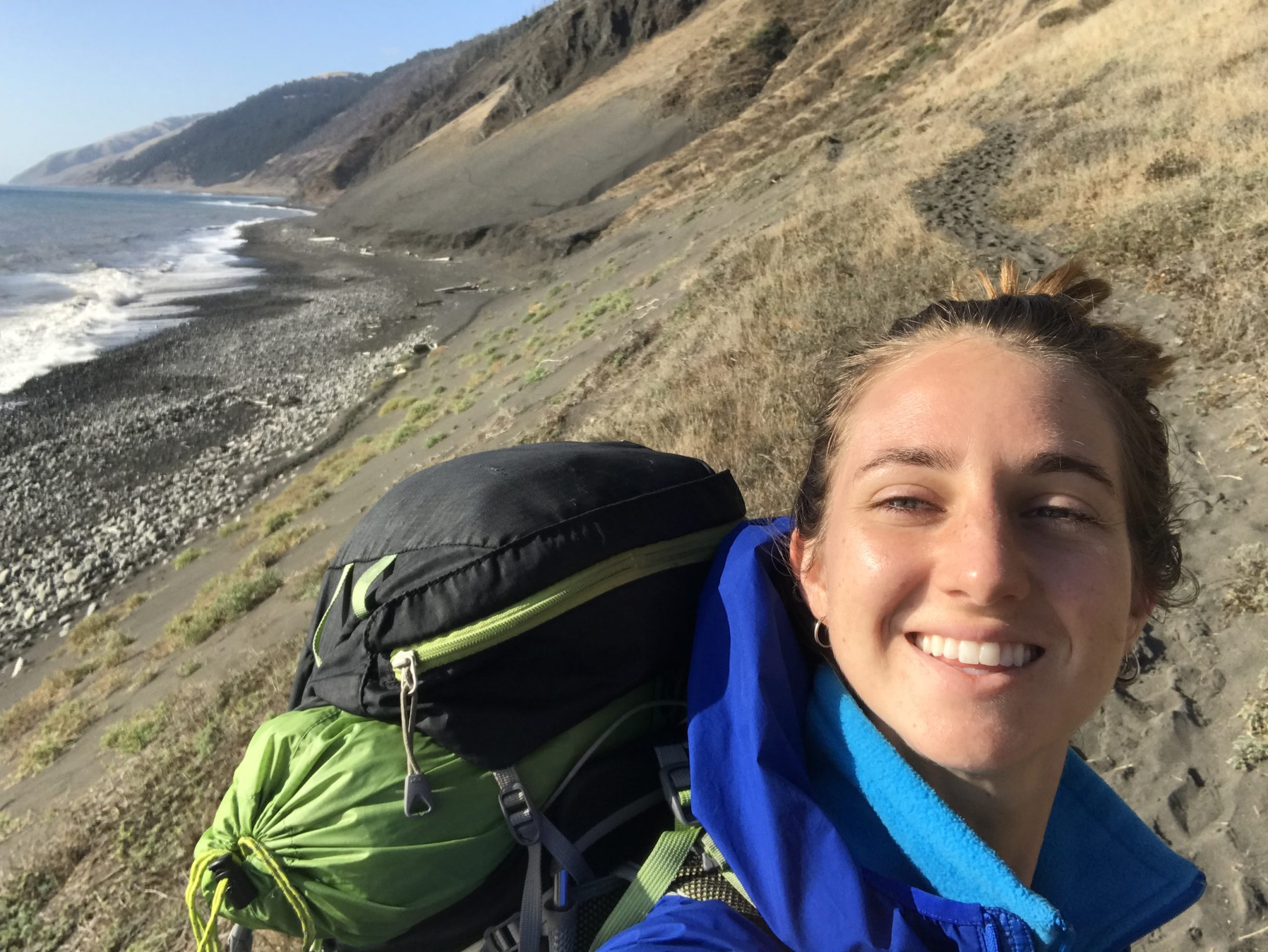
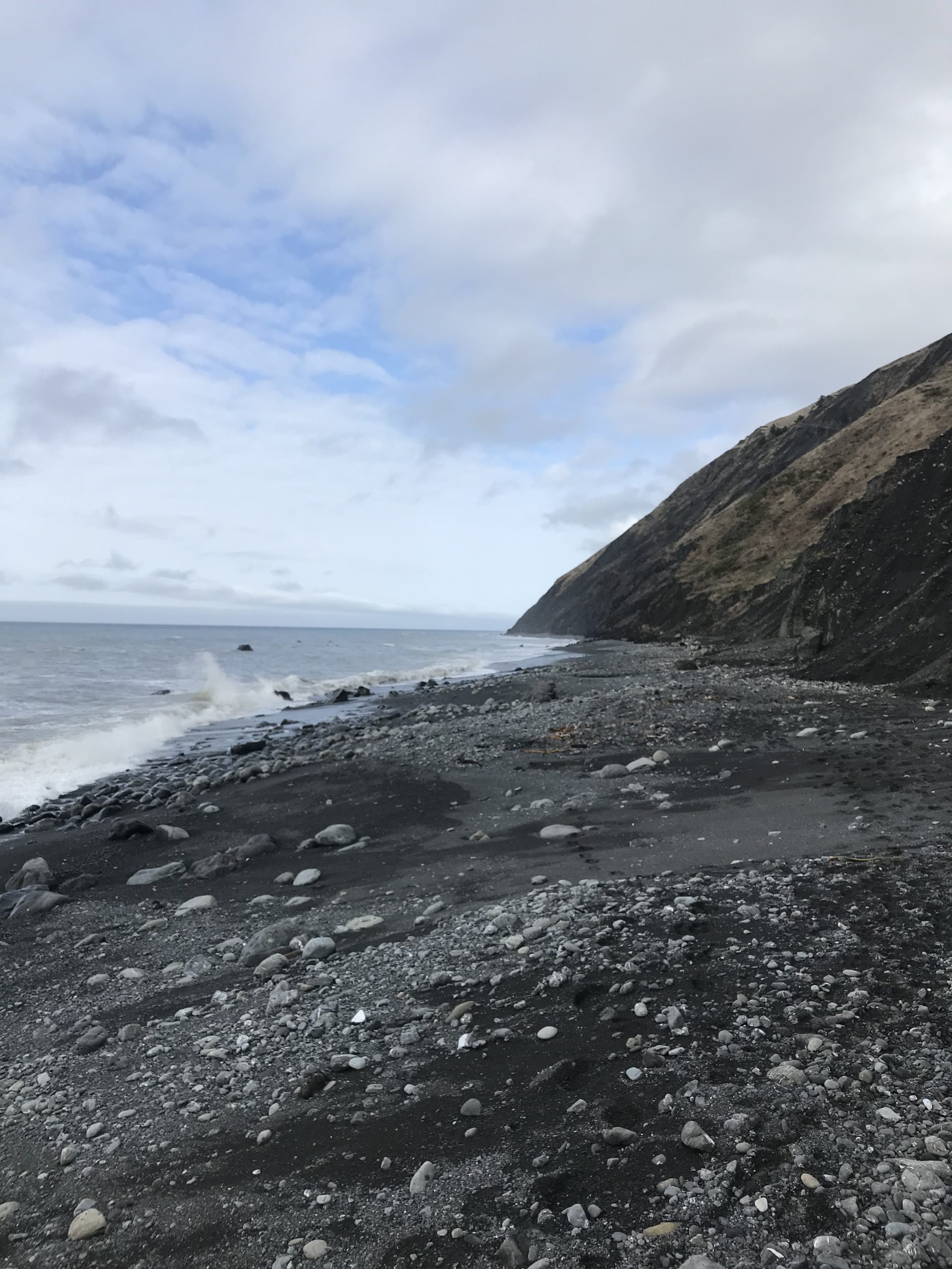
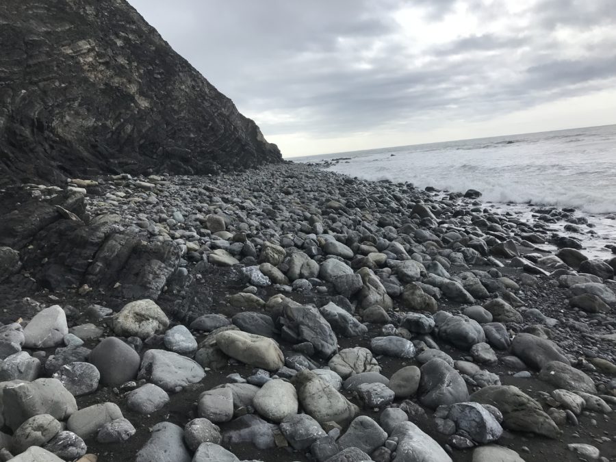
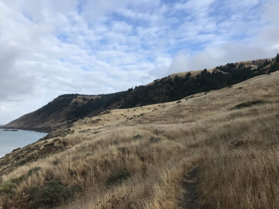
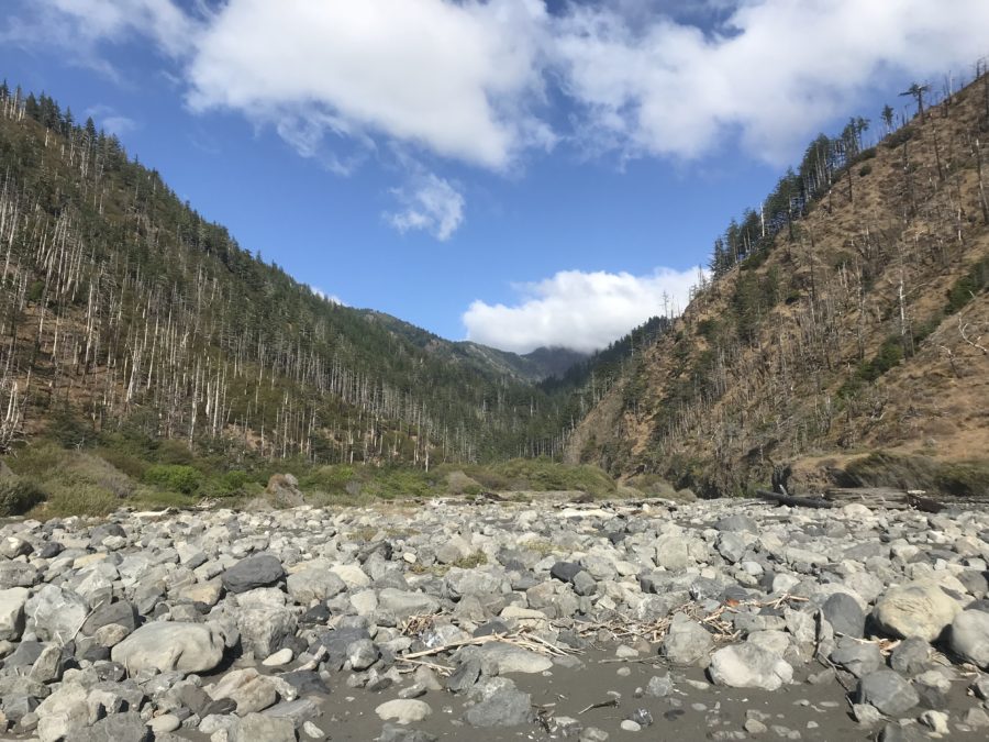
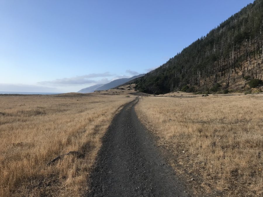
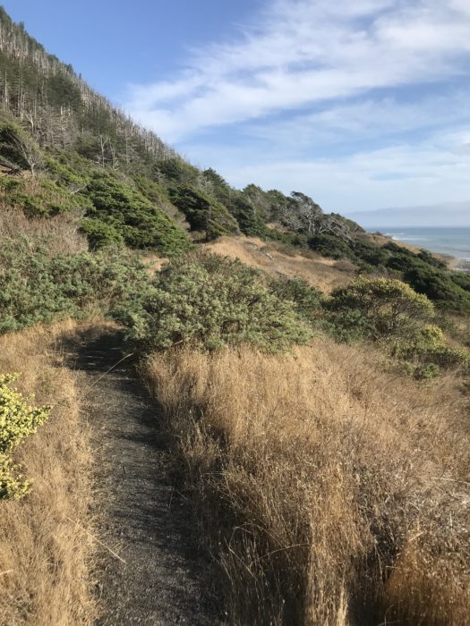
The view from my tent the next morning is surreal. The sun breaks through quick moving clouds, reflecting off a vast and empty ocean. The weather has cleared and I soon approach the second “impassable zone” at low tide. The terrain on the beach is tough; it’s a mix of boulders, pebbles, and dark sinking sand. I move slow. I cross creek after creek, stopping to filter water as I go. The trail holds one gorgeous scene after the other, from abandoned structures to open stretches where Douglas Firs become ocean waves. There is endless potential for camping along the way, I note.
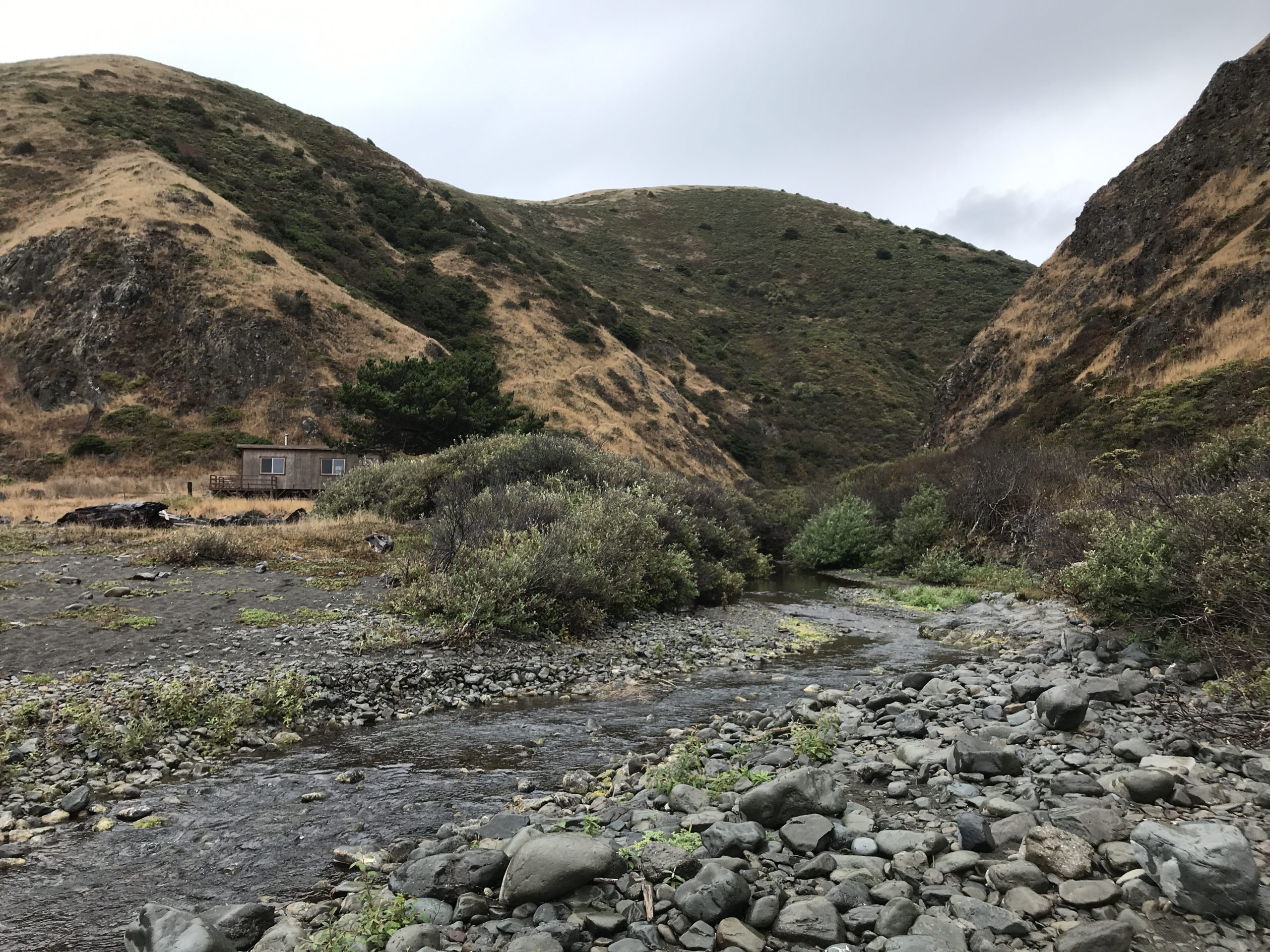
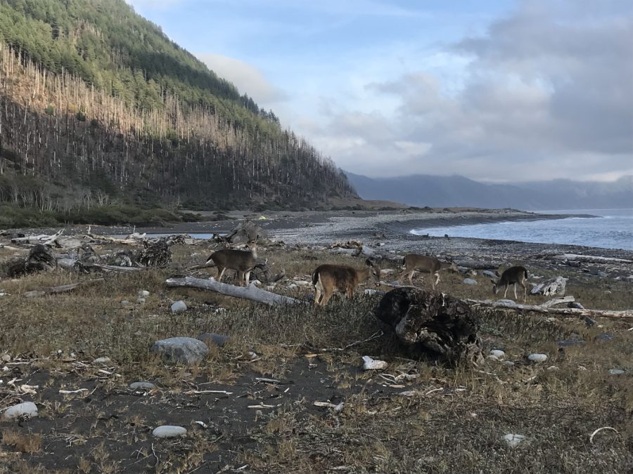
After 11 miles, I pitch my tent for a second night at Big Flat. I’m welcomed by a few deer grazing on the shore before making their way back to the forest.
I pitch my tent, eat dinner, and fall into a deep sleep after a long day. The next morning I’m surprised to see a surfer catching waves in front of my tent. I study my map while eating breakfast, noting I have about 10 miles to go. I pack up and wave goodbye to the surfer, comforted by the presence of another human.
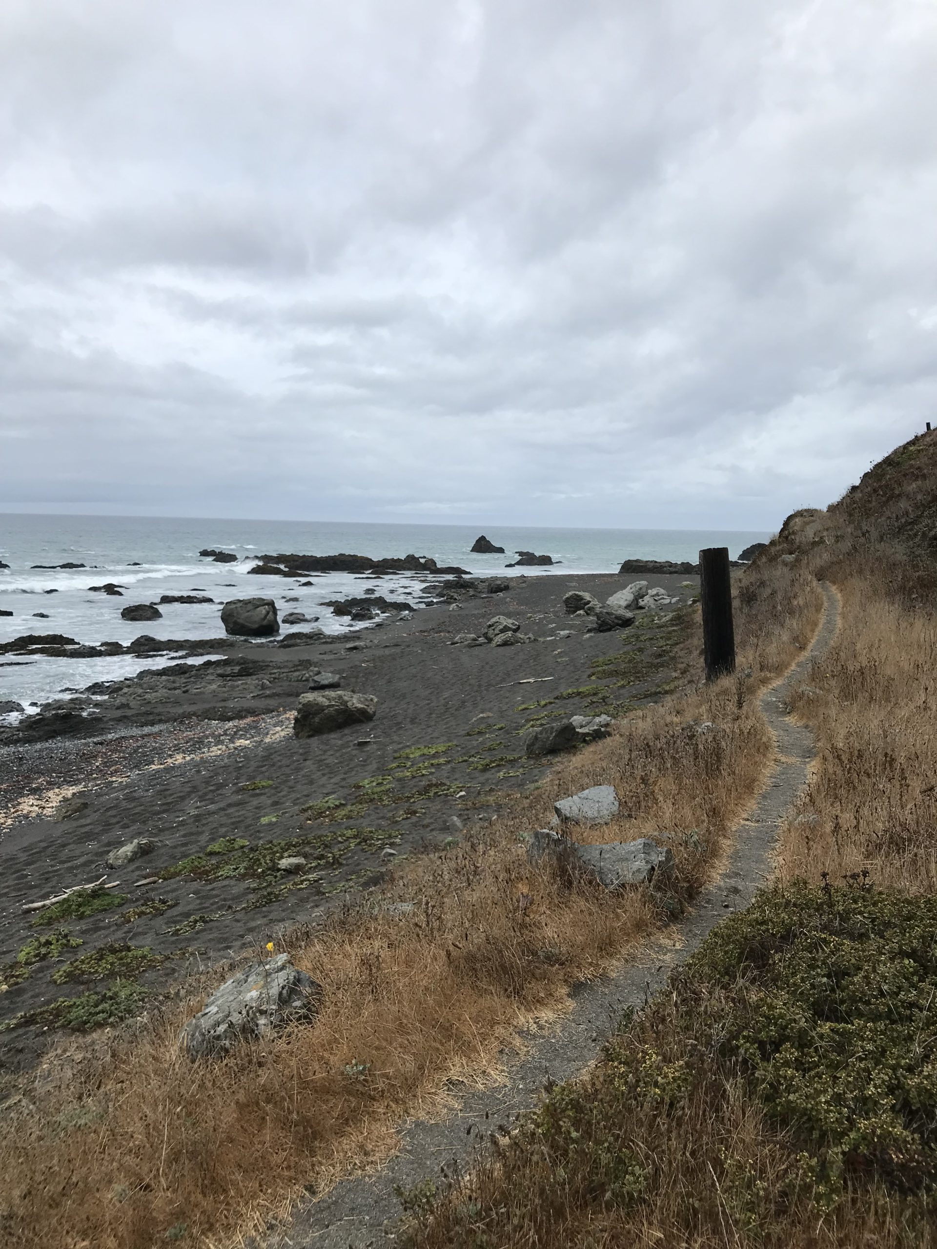
I approach the third impassable zone and there’s a particular spot along the way where a few pieces of rock jet out, making it a close call, even at low tide. I scurry past, dodging a few close splashes. To reiterate, my pace along the beach is humbling.
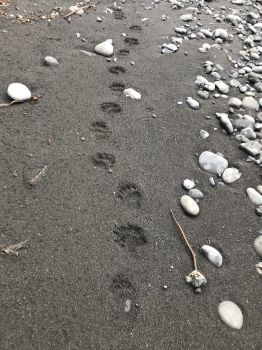
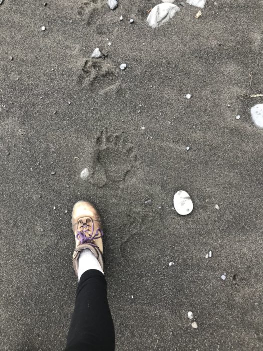
After several miles, I encounter bear tracks in the sand. It’s wet sand, so they must be fresh. I soon approach a large canyon at Gitchell Creek. My dilemma is that I need to filter water but am sure I’ll be sharing the banks with a family of bears. All of a sudden I’m questioning the placement of my bear canister- strapped to the outside of my pack. Is a bear more likely to detect my food? What I can tell you is bear canisters are best placed, weight distribution wise, inside the bottom of your pack.
After a short break, I continue in the bear tracks, except they are now headed in the opposite direction, which I take as a good sign.
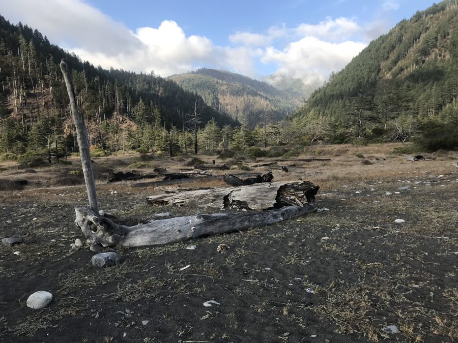
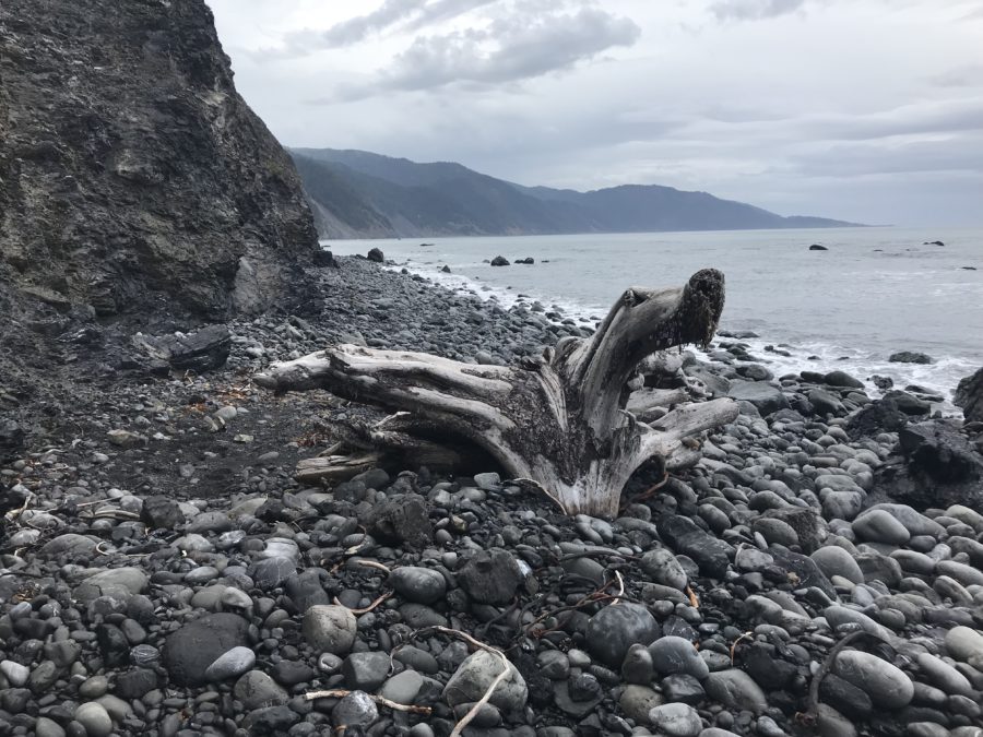
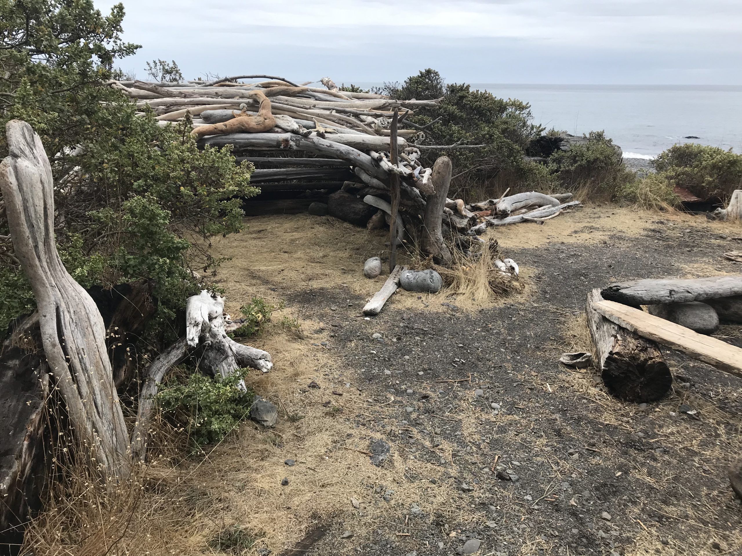
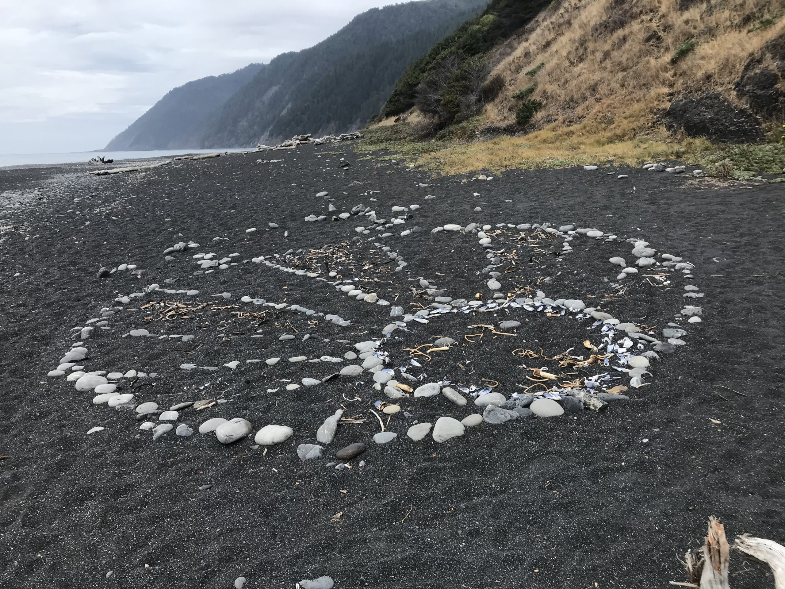
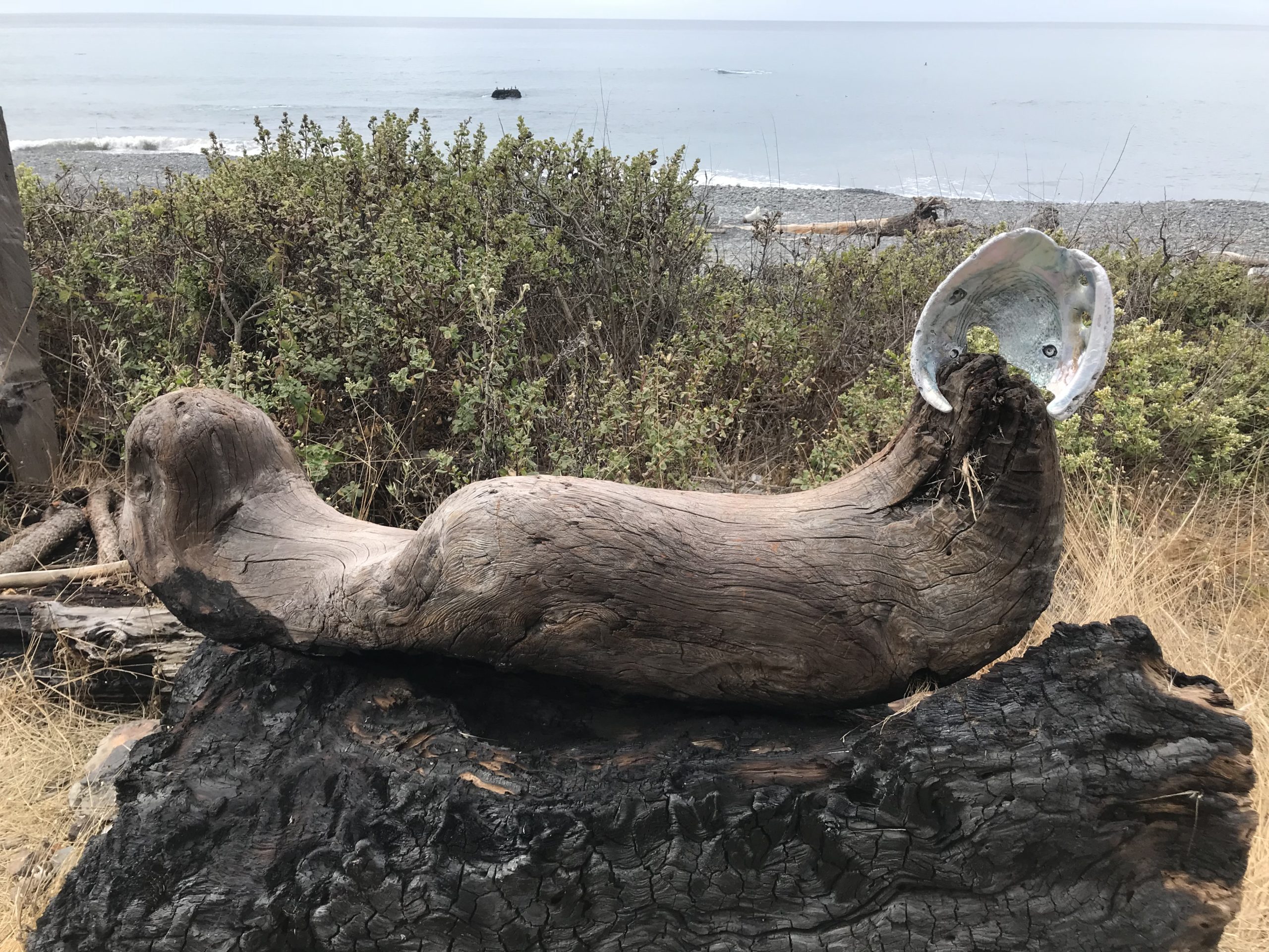
My body is tired, but I soak in the last few miles of trail. Something catches my eye tucked up on the beach; it’s an abandoned camp.
The last stretch across Blank Sands beach is eerie and mystical. A backpacker passes me with a red surfboard I recognize strapped to his back. We wave hello again as if with a mutual understanding of the scenery we both just experienced. I pass a few other beach strollers on my way out and up to the trailhead where I left my car.
I grab a coffee and drive 10 hours home, making it just in time for a few hours of sleep before work the next morning. Exhausted, but grateful. I recommend sticking around as long as you can to soak up the exquisite natural beauty and solitude that the King Range Wilderness offers.
A few tips for hopeful Lost Coast Trail goers:
I hiked 25 miles in three days and two nights, and while it depends on your fitness level, personal time constraints, and weather, I would recommend at least four days to enjoy the trail, maybe even catch some fish. A significant portion of the trail is on thick sand and rocks, requiring double the effort.
The weather is unpredictable year-round, and you may encounter the wettest and most unforgiving hiking conditions during the winter and spring months. Plan accordingly.
Know that black bears cohabitate the area and have a “how to survive a bear confrontation” plan, unlike me. You’ll need a bear canister to store and carry your food. You can buy one ahead of time or rent one using the resources on the U.S. Bureau of Land Management (BLM) website. I rented one from the shuttle service: Lost Coast Adventures.
Permits are required to hike the Lost Coast Trail. I decided to go quite last minute and there were plenty of permits a day or two before. Secure your permits through Recreation.gov.
There are sections of the trail that are impassable at high tide. I studied a tide chart given to me on the shuttle, but you could also pick one up from the King Range Project Office. Here’s good information from BLM.